1996 UK Distribution1881census1871 census16-19 C DistributionName variants

 Richford name variant distribution maps

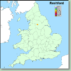
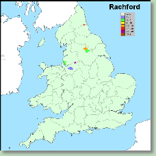
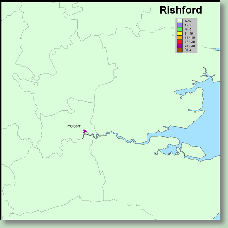
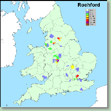
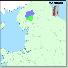
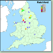
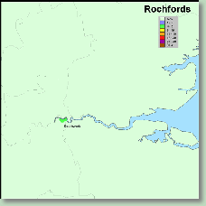
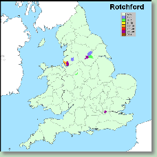
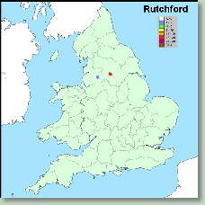
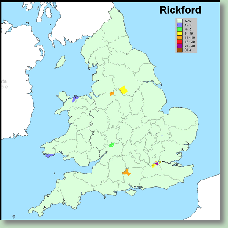
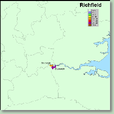
Maps produced using the The British 19th Century Surname Atlas by Steve Archer

Distributions shown as actual numbers of individuals enumerated in poor law union (registration) areas


~ Click on thumbnail maps to reveal higher resolution maps ~


1a-richford-prlw_act500.gif

1b-ritchford-prlw_act500.gif

1c-rechford-prlw_act500.gif

1d-rachford-prlw_act500.gif

1e-rishford-prlw_act500.gif

1f-rochford-prlw_act500.gif

1g-ruchford-prlw_act500.gif

1h-roachford-prlw_act500.gif

1i-rochforde-prlw_act500.gif

1j-risford-prlw_act500.gif

1k-ratchford-prlw_act500.gif

1l-retchford-prlw_act500.gif

1m-rochfords-prlw_act500.gif

1n-rotchford-prlw_act500.gif

1o-rutchford-prlw_act500.gif

1p-richords-prlw_act500.gif

1q-rickford-prlw_act500.gif

1r-richfield-prlw_act500.gif